REMOTE SENSING – THEORETICAL BASES AND FEATURES
Microsoft Teams Virtual Classroom
PIN: bymti7o
Thursday 3 June 2021, 2:00-3:30 pm
Doc. Gabriele Candiani (Researcher at the CNR-IREA – Institute of Electromagnetic Sensing of the Environment)
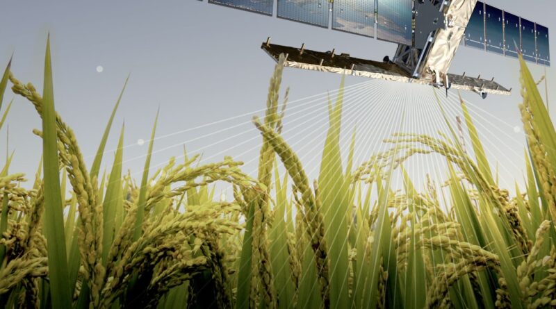
Remote Sensing allows the observation and study of distant objects, exploiting electromagnetic waves. Sensor on-board satellites, airplanes and drones can observe large areas of the Earth surface in several portions of the electromagnetic spectrum, in order to collect information related to events such as climate change, desertification, wildfires, glaciers melting, water pollution, land use and vegetation status. In this seminar, Doc. Gabriele Candiani will introduce basic concepts of Remote Sensing, presenting theoretical bases and features which let Remote Sensing become one of the most used tool for both the study of natural phenomena and the management of land and environment.
ORGANIZER
Prof. Arianna Facchi

