
REMOTE SENSING – WATER RESOURCES MANAGEMENT IN AGRICULTURAL AREAS
Microsoft Teams Virtual Classroom
PIN: bymti7o
Thursday 3 June 2021, 3:45-5:15 pm
Doc. Francesco Nutini (Researcher at the CNR-IREA – Institute of Electromagnetic Sensing of the Environment)
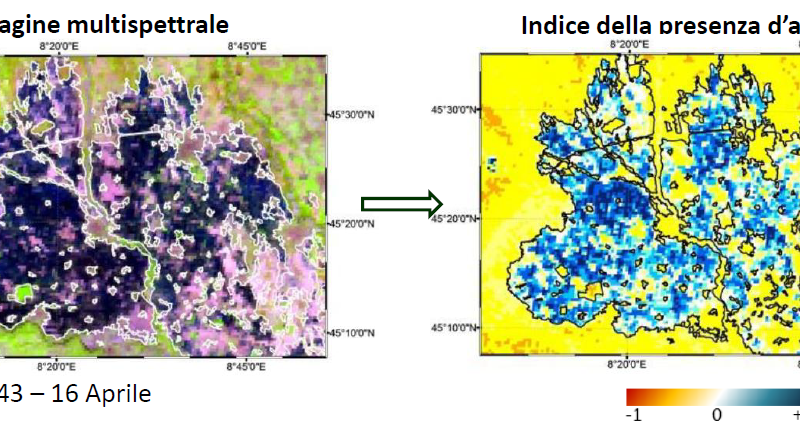
In recent years there was an increasing interest in Earth Observation (EO) technologies for agronomical studies. In particular, EU-leaded program Copernicus and its Sentinel-2 mission boosted the exploitation of satellite data for land monitoring and precision agriculture practices.
Aim of the seminar is to make agronomy students aware of potentiality and limits of optical satellite data. Starting from experience and knowledge of CNR-IREA, several applications of EO data will be shown for the monitoring (e.g. water stress index estimation) and the management (e.g. variable rate application of agronomic inputs) of agricultural areas at the field and regional scales.
ORGANIZER
Prof. Arianna Facchi