
USE OF UAV IN AGRICULTURE: MULTISENSOR SURVEYS AND POST-PROCESSING OF ACQUIRED DATA
Microsoft Teams Virtual Classroom
https://teams.microsoft.com/l/team/19%3a18cce9ae39a54ea49cebb813c3e76c71%40thread.tacv2/conversations?groupId=5fef7852-37d7-47a5-9615-b941ec783d65&tenantId=13b55eef-7018-4674-a3d7-cc0db06d545c
PIN: bymti7o
Tuesday 29 October 2020, 13:30-16:30 AM
Doc. Giovanna Sona (Researcher at Politecnico di Milano – Civil and Environmental Dept. (DICA), sect. Geodesia e Geomatica)
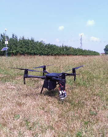
In the last decade the use of Unmanned Aerial Vehicles (UAV) to map vegetation lead to several applications in support of Precision Agriculture (PA). The lecture will focus on the use of UAV, by illustrating the basic concepts of photogrammetric processing, that is the core of the semi-automatic processing of set of images acquired in a flight, by describing the correct planning of a survey, and the statistical post-processing techniques to be applied to produce maps useful in PA. An overview of the main software packages used and some examples of application will conclude the lecture.
Prof. Arianna Facchi